Features REGMIK GPS
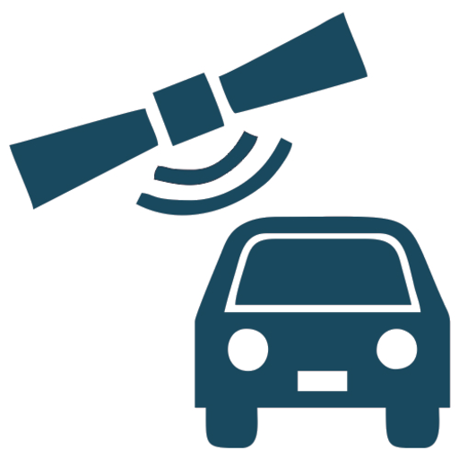
To track the current location of objects, as well as to display the trajectory of their movement, the REGMIK enterprise monitoring system https://monitoring.regmik.com is used, designed to work together with the GAMA-tracker GSM-xx trackers.GAMA-tracker GSM-xx is designed to work as a GSM/GPS tracker.
The obtained geographic coordinates of the object are transmitted to the server via the operator’s GSM network using GPRS.
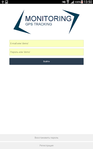
Viewing traffic history data is carried out using a WEB server located on the Internet or this mobile application.
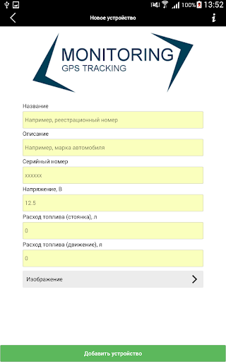
Main functions of the GAMA-tracker GSM-xx and monitoring system:- Display device data in table form (longitude, latitude, speed, ...)- Display data on the map as a marker- Card selection: change card type (Standard, Satellite, OpenStreet, Yandex, …)- Displaying the route of the object- Filtering data in the table and on the map- Export data from a table for further use (Excel, PDF)- Editing objects (changing the name and description of an object)- Change the data update interval.
Social Features
Connect and share with friends and the community.
Gaming Features
Enjoy immersive gaming experience with various game modes.
Fitness Tracking
Track your workouts and monitor your health metrics.
See the REGMIK GPS in Action

Get the App Today
Available for Android 8.0 and above